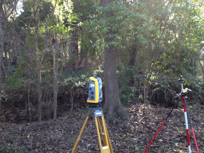
Topographic Surveys and Architectural Site Surveys are used by designers, architects, engineers and builders to get a thorough understanding of a parcel of land or piece of property. Existing conditions such as buildings, roads, utilities, trees etc.. are surveyed and mapped. Contours, spot elevations, existing easements and property boundary information can also be shown. These maps often serve as a base map for proposed designs or to aid in obtaining a building permit.